On the 1st of August a fire broke out just above Donnell Reservoir in the Stanislaus National forest. Normally this would not be a big deal, the spot of origin is rocky with scattered brush and trees. But at the time there were many large wildfires burning in the West that had high priority. While easily seen from the road, it wasn’t so easy to get to. Limited air and ground crews were sent in and it looked like the fire was behaving as normal for that area.
But a few days later the fire and Mother Nature decided to do their own thing. The fire had reached the split where the South and Clark’s Fork of the Stanislaus River come together and between the fire and normal weather, created a huge surge in the fire and it raced up canyon at a rate of about 5 miles in just a few hours. I went to the Community Meeting and the Firefighters (and other emergency personnel) said it was not like anything they had ever seen – multiple fire-tornados, and an intense rate of spread – these were people who had fought the Santa Rosa fire the year before too – they were not new to extreme fire behaviour. Unfortunately in that path were many historic cabins, and Dardanelle Resort.
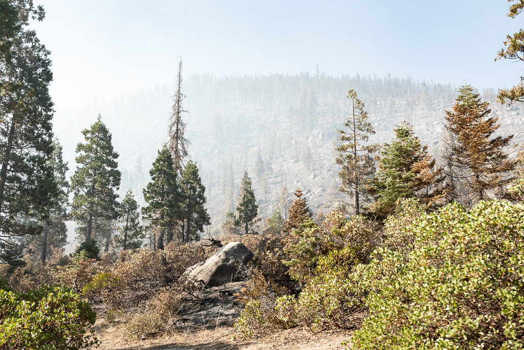
A couple weeks ago after the highway was reopened, Dad and I drove up to see what was left and what was gone. While crews had been working to clean up the damage, it was still clear where the major firestorm whipped through, and where normal fire just cleared the understory.
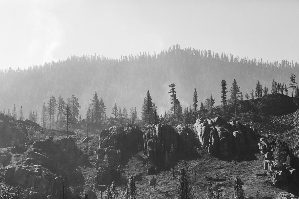
 The photo above is looking up towards Double Dome Rock. The foreground looks like normal fire (perhaps a backfire) while the background is not. Not only are many of the trees completely gone, but the fire burned out the stumps and roots leaving holes in the ground – which is partly why stopping along the highway was not allowed. These holes are not only a danger via falling, but could also be still burning in places.
While the resort and many surrounding cabins were destroyed, the new owners of the resort were insured and are planning on rebuilding. I’m so happy to hear this, and that they know there are many who can’t wait to sit on the Adirondack chairs again.
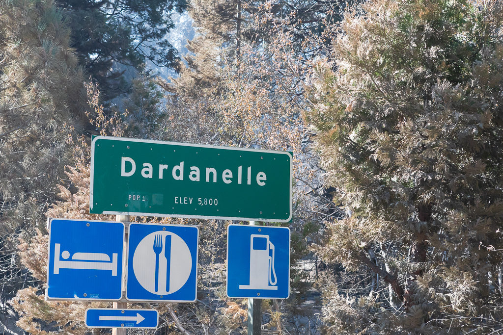
Just past Dardanelle is a historic bridge. It also burned – that surprised me as well, as the vegetation thins again near it. But it was old, very dry and wooden.
 If you look in the lower left, there’s a beam from the old bridge.
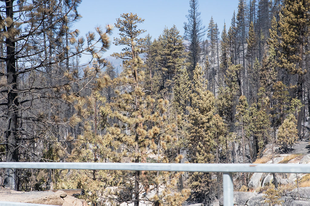
Next up is Columns of the Giants. The photo below looks worse than it actually was. There wasn’t a lot of vegetation here to begin with, and what was there is prone to burn. But the trees in the middle ground that are untouched indicate how quickly the fire came through. Behind the ridge is the Bennet Juniper – the largest Juniper in the U.S.

As we neared Kennedy Meadows, things got noticeably pinker! The rate of spread had slowed by this point, but with erratic winds, the USFS wasn’t taking any chances. Not only were buildings wrapped with fire cloth, but a generous amount of retardant was dropped by aircraft when possible, as well as hand sprayed.
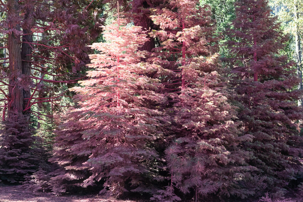 The pink trees everywhere reminded me of a Christmas Tree flocking gone horribly wrong.
We went up just past Que de Porka (the road does twist and wind like a pig’s tail) before turning around. The pink along the ridge is more retardant, and that itsy black dot is a helicopter dropping more retardant (or water) on the fire.
 Obligatory stop at the top of Que de Porka, with dad looking up Kennedy Canyon.
For those who think this area looks vaguely familiar – it was the scene of one of the best Super Bowl Commercials 😀
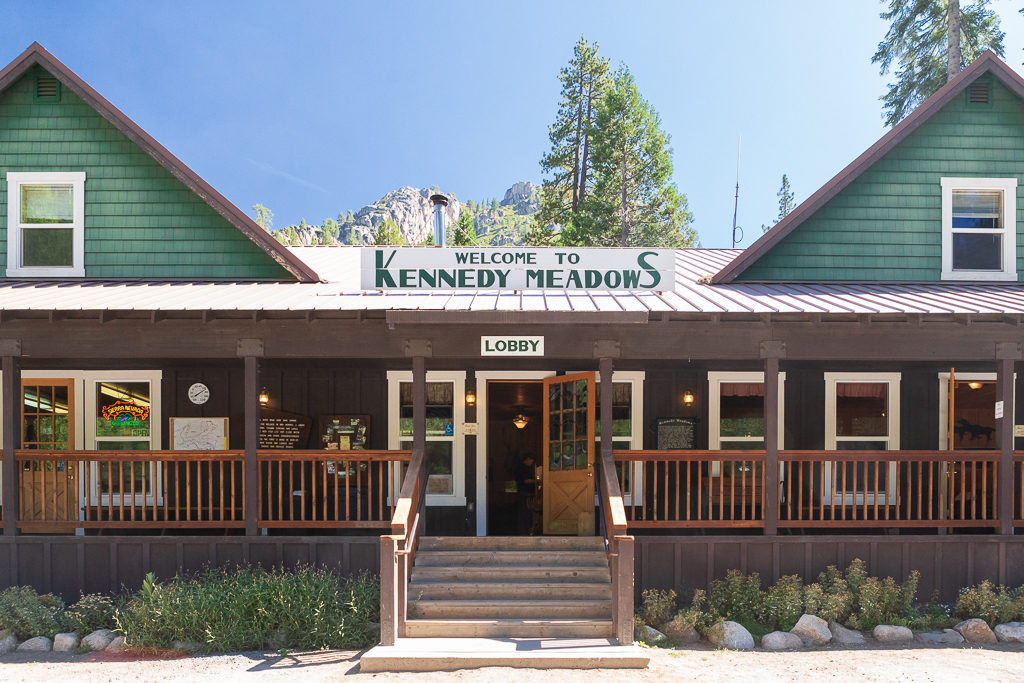
Finally, back down to Kennedy Meadows resort – always a great place to stop. It was nice seeing the horses and mules ready to get back out in the wilderness.
Other than the last three, all of these photos were shot from a moving vehicle, so please forgive a little blur 🙂
For a full timeline of the fire see MyMotherLode.com’s article and the InciWeb site for more details and glorious maps.